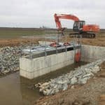
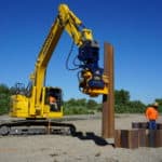
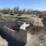
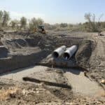
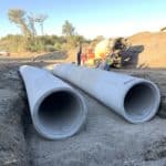
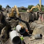
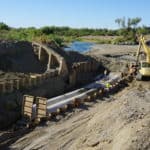
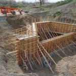
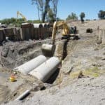
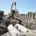
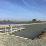
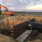
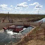
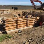
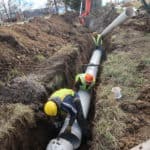
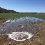
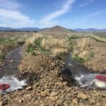
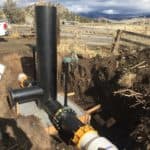
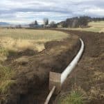
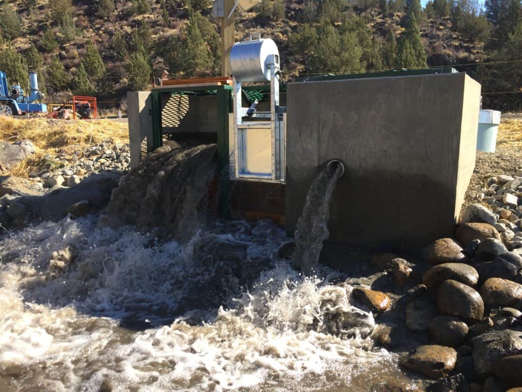
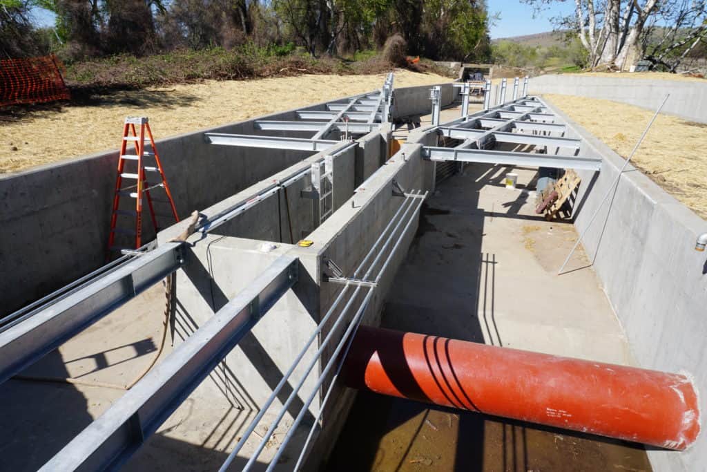
The design and construction management team at Davids Engineering strives to bring concepts and plans to life. From the humble beginnings of an idea, our team works hard to understand our Clients’ objectives and constraints to develop a solutions-oriented design approach. We are skilled at providing planning-level design services that allow investigation and identification of: design criteria, evaluation and incorporation of economic analyses, stakeholder priorities and preferences, and the ranking of similar alternative solutions. Our experience shows that a thorough planning effort is a critical first step. With a preferred solution established, we are accomplished in leading stakeholder-driven, phased design processes that result in bid-ready construction documents that are not only technically robust, but also meet the original objectives within the constraints. Our focus is on developing practical, high-quality design solutions that can be implemented and maintained in a cost-effective manner.
Consideration of environmental resources is vital to planning and design and we are experienced in developing projects at the nexus of irrigated agriculture and the environment to provide mutual benefit. We team with specialty consultants to provide environmental constraints screening, site evaluations, CEQA/NEPA documentation, and related Environmental Permitting and Compliance requirements to ensure project success.
A successful design phase is only half the battle and we offer bidding and full construction management services to turn final designs into finished projects. We take a comprehensive management approach that blends pre-construction planning with active contractor management and quality assurance to ensure that projects are constructed per plan, contract obligations are met, and activities progress on established schedules and budgets. Related services include contract administration, Client-Contractor liaison, construction engineering, inspections and oversite, budget and schedule management, project close-out and certification of completion.
The following are design and construction services we provide:
Engineering Data Collection
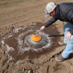
Project planning and design requires information and knowledge of the natural or built environment within which the project will need to be built and operate. Often times these defining datasets are not readily available. Not only do we have the experience and knowledge to know what is needed, but we have in-house capability to collect and process the data so it can be properly considered in the design. We also have talented subcontractors to support us where needed.
Post-project Performance Monitoring
Our projects are often coupled with a “verification-based planning” process which estimates anticipated benefits during the planning and initial design phases to establish measurable objectives for the design and completed project. When possible or required, we then conduct post-project monitoring (often multi-year) to verify whether or not the outcome of the project aligns with the objectives. We take pride in delivering projects that perform as (or better than) expected!
Operations and Maintenance Planning
Our work rarely ends after the construction phase. New infrastructure and technology requires training in the proper operation and maintenance of the constructed works. We produce operations and maintenance manuals and provide the training needed for Clients to successfully operate and maintain their new system.
Construction Management
From pre-construction meeting to final project inspection, we have the experience to ensure that the project is constructed per the plans and specifications, that expectations are clear, and that there is effective communication and transparent accountability between Owner-Engineer-Contractor. Our on-site field inspectors knows the designs and can effectively communicate and coordinate with necessary parties to identify issues before they arise or problem-solve in real-time.
Construction Document Preparations and Bidding Support
We routinely produce Contract Documents – contract agreements, general and technical specifications, and drawings – for use in bidding or contractor procurement processes, and also for final construction. We believe details matter and design to minimize change orders during construction.
Choosing the right contractor is an important step in the construction process. We have the experience to assist Clients with competitive bidding (price or qualification based), value-based, sole-source, or design-build procurement and selection processes. Once bids are received, we assist with bid review and contractor selection.
Choosing the right contractor is an important step in the construction process. We have the experience to assist Clients with competitive bidding (price or qualification based), value-based, sole-source, or design-build procurement and selection processes. Once bids are received, we assist with bid review and contractor selection.
Permitting Support
For projects designed in-house, we support the Client and/or their selected environmental compliance consultant with the necessary engineering and technical support to apply for and complete permits and the CEQA/NEPA process (as applicable). We are also cognizant of the many permitting and compliance hurdles and often include expert biological/botanical insight during the feasibility analysis and criteria-setting stages and, if practical, design to minimize environmental impacts.
Facilities Inventory and Mapping
A comprehensive inventory (locations and characteristics) of existing facilities is a valuable dataset for designers and water managers alike and is foundational for mapping, asset management, long-term capital improvement planning, condition assessments, maintenance calls, and modernization planning. We are nimble and highly capable in the field and use established field data collection protocols, GPS, and GIS software to collect, inventory, create, manage, analyze, map , and report all types of geospatial data.
Topographic Surveying and Engineering Data Collection
Proper survey data is necessary to produce accurate and robust designs. We have the ability to gather topographic data with centimeter level accuracy using real-time kinematics (RTK) survey equipment.
Preliminary and Final Design
Once a preferred alternative is chosen and basic criteria are defined, the preliminary design (I.e., 30% design) process advances the concept by defining or refining the criteria and producing schematic drawings showing the core civil and mechanical layouts. The final design process (i.e., 60-100% design) adds specificity and detail to the drawings and incorporates necessary structural, electrical, instrumentation and control, or other specialty disciplines as dictated by value engineering and technical design.
Concept Design Development
Conceptual designs define the basic layout and purpose of the project and serve as the backdrop upon which alternatives can be considered, criteria can be identified or evaluated, and fatal flaws can be realized. We employ concept design during the planning phases and during alternatives analysis.
Alternatives Analysis
Projects are born out of a ‘need’. This need translates to specific objectives and criteria which define project success. We work to define your need and conceptualize alternative ways in which it could be met while accounting for criteria or constraints such as constructability, cost, environmental impact, timeline, or unique site conditions. We use our depth of experience and creativity to efficiently look at a wide range of alternatives and identify the concept(s) that meets all criteria at least-cost.
