Reliable monitoring and insightful interpretation of environmental data is foundational to water resource management. Davids Engineering provides environmental monitoring services customized to meet our clients’ needs for data collection and data analysis. Our data collection services range from individual measurements using our state-of-the-art arsenal of specialized equipment to design and implementation of complete permanent monitoring networks. We also offer various data analysis and application services that help our clients to interpret and use their data to its fullest potential, from establishing historical baselines and identifying trends, designing, and implementing adaptive management programs, and developing numerical models.
The following services provide standalone value to our clients in California and beyond and play a vital role in many of our other related service areas.
Davids Engineering’s environmental monitoring services typically include one or more of the following:
The following services provide standalone value to our clients in California and beyond and play a vital role in many of our other related service areas.
Davids Engineering’s environmental monitoring services typically include one or more of the following:
Water Quality
Water’s physical, chemical and biological characteristics provide valuable information for understanding hydrologic systems. Davids Engineering has the equipment, knowledge, and experience to collect and interpret water quality data in a cost-effective manner.
Surveying and Mapping
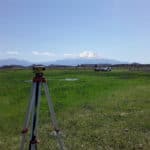
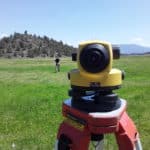
Inventorying existing facilities is often the first step in system modernization and capital improvement planning. We employ a range of open source mobile data collection tools to streamline the workflow of field data collection, storage, analyses, and visualization. Davids Engineering offers services for facilities mapping, infrastructure inspections, as-built survey preparations, bathymetric surveys and more. We use a combination of Real Time Kinematic (RTK) GNSS survey instruments for extensive surveys and water survey elevation profiles, together with laser and optical levels for precision leveling over shorter distances.
Groundwater Monitoring
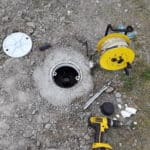
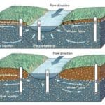
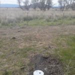
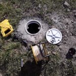
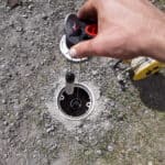
Integrated management of groundwater and surface water supplies is essential to long-term water supply reliability and ecosystem health. Regular measurements over time of groundwater levels and quality are the foundation of many types of groundwater analyses, including (1) evaluating long-term trends and changes in aquifer storage (2) developing and calibrating numerical groundwater flow models, (3) performing water balance analyses and (4) designing, implementing, and monitoring the effectiveness of groundwater management and protection programs. We have designed numerous cost effective groundwater monitoring, data visualization, and data management programs.
Flow Measurements
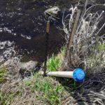
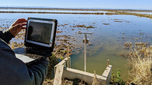
Accurate, continuous canal and stream flow records provide essential information for water system operations and water accounting. We have helped dozens of water managers quantify flows in a variety of settings ranging from California’s largest river, the Sacramento, to small open irrigation and drainage channels, to gravity and pressurized pipelines. We employ the highest technical standards in the use of our state-of-the-art arsenal of flow measurement equipment, including: hydroacoustic instruments developed by SonTek (FlowTracker ADV and RiverSurveyor M9 ADCP), GE Panametrics Portable Transit Time Flow Meter, and host of other water level and flow measurement devices.
