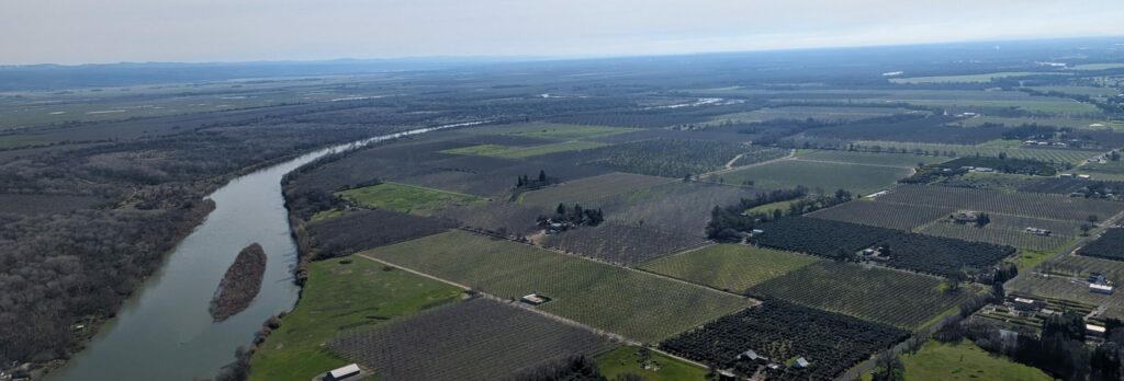
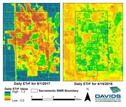
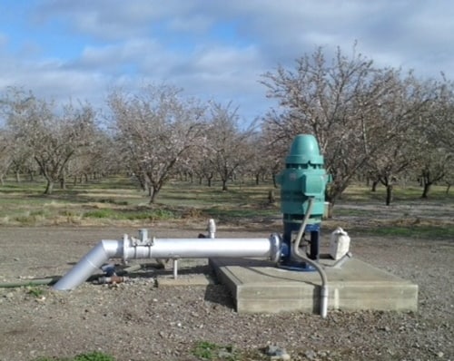
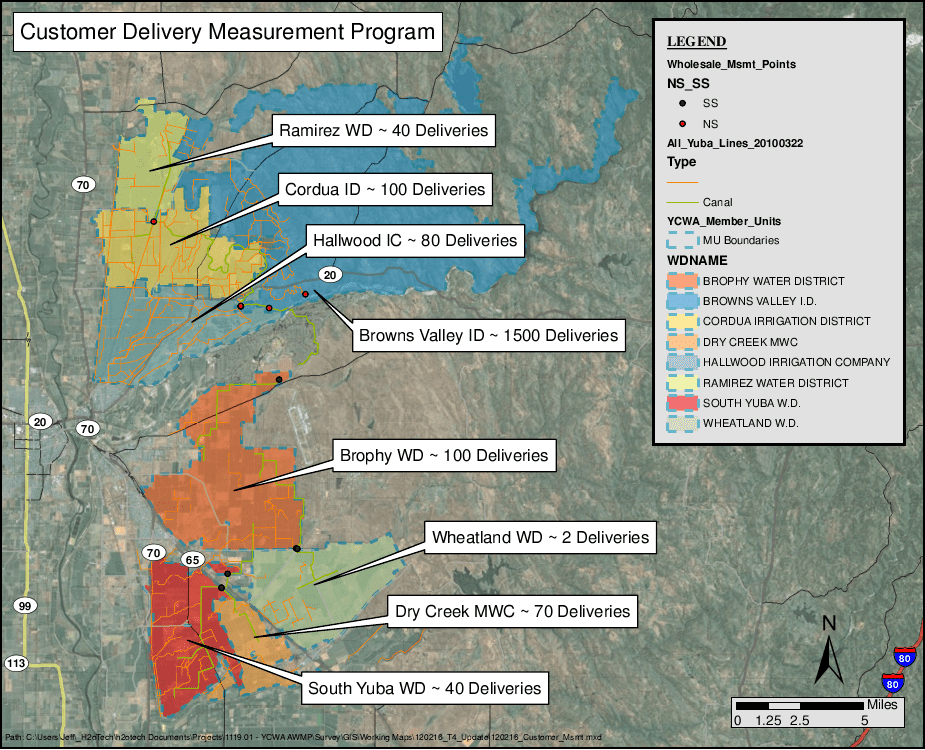
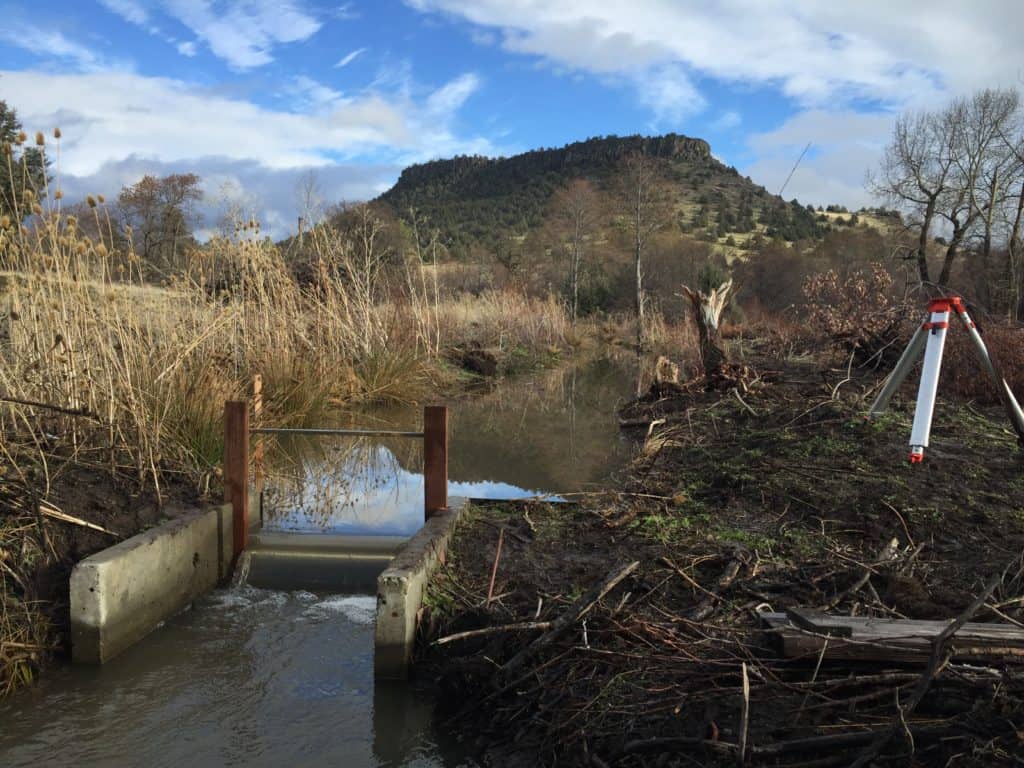
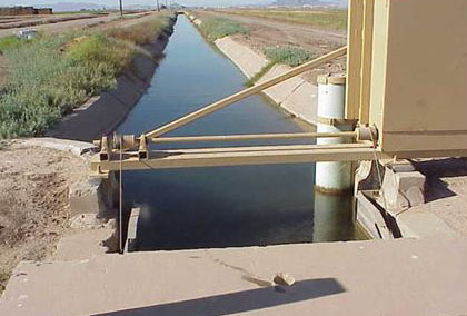
Quantifying water volumes over space and time through a water budget is an important component of responsible water management and stewardship, and it is also part of regulatory requirements for some water suppliers in California. To complete a water budget, every potential flow of water through the area of interest needs to be quantified. There are a variety of supporting data for this process, and varying levels of certainty and detail for the resulting water budgets. The better the supporting data and the more precise the level of detail, the more useful the water budget will be for guiding water management decisions. For some of the water budgets that Davids Engineering has completed in the past, a flow path with poor supporting data and high uncertainty is surface water outflows from the water budget area. To improve the quantification of this flow path, we have worked with a number of clients to better quantify boundary surface outflows over time. Currently, in the Sacramento Valley, we are working with several different water suppliers at more than 15 sites to monitor and measure boundary surface outflows.
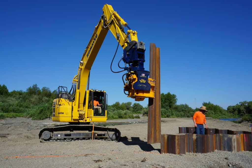
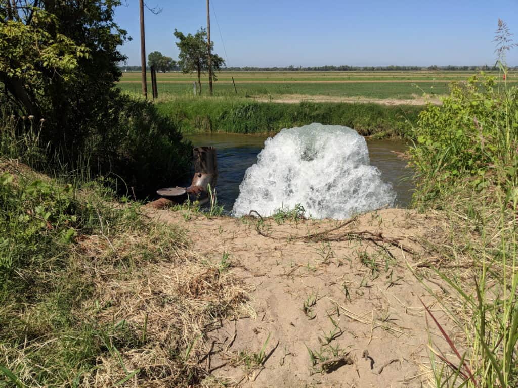
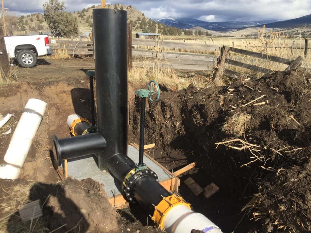
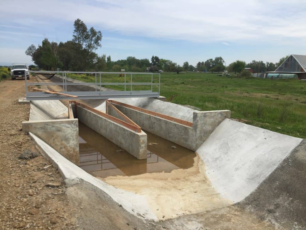
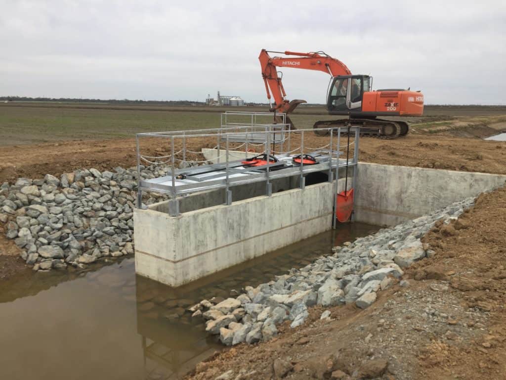
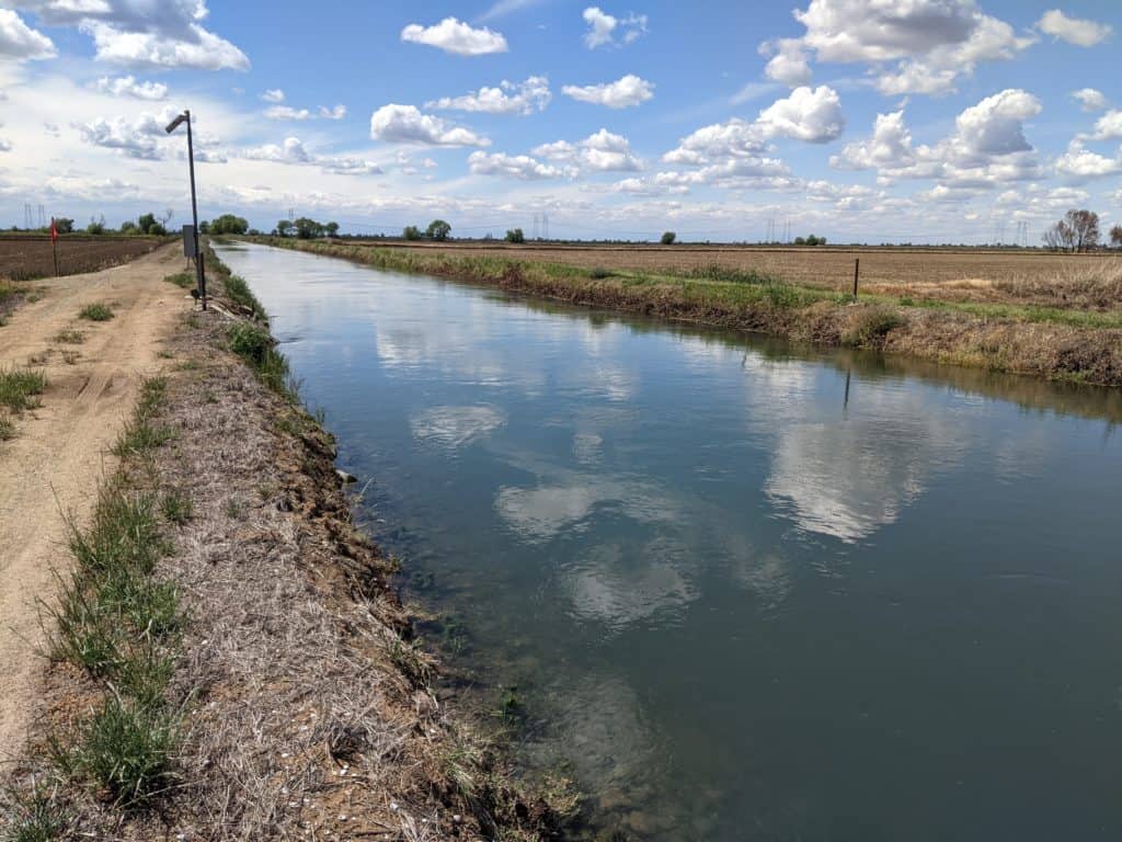
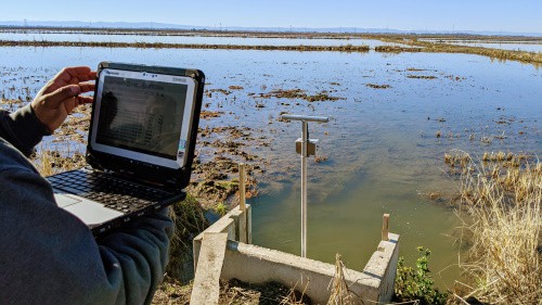
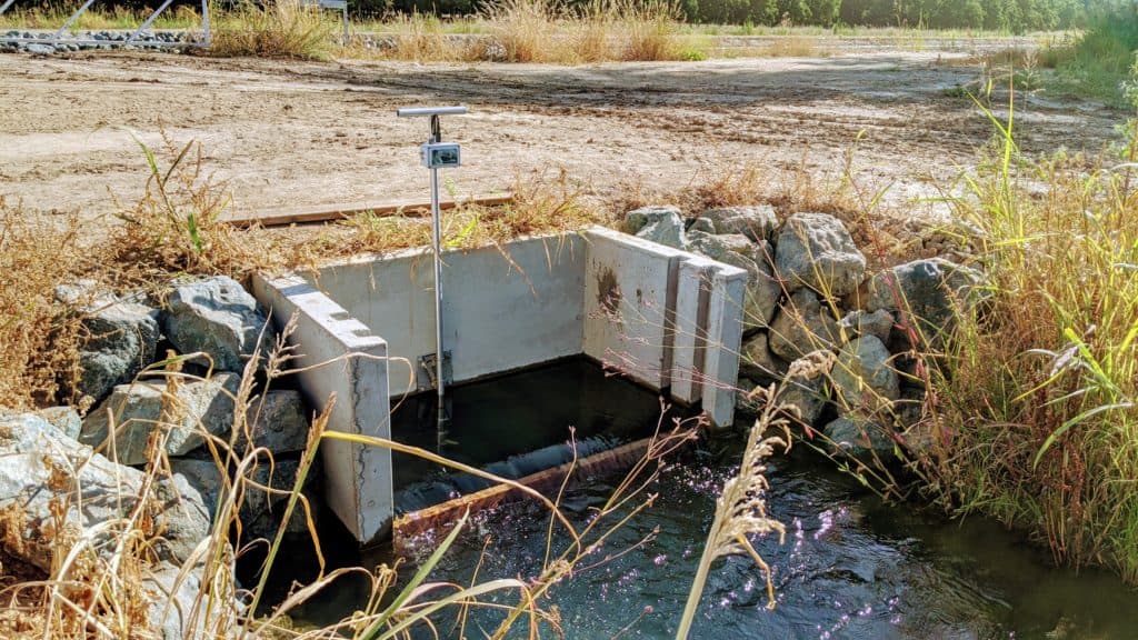
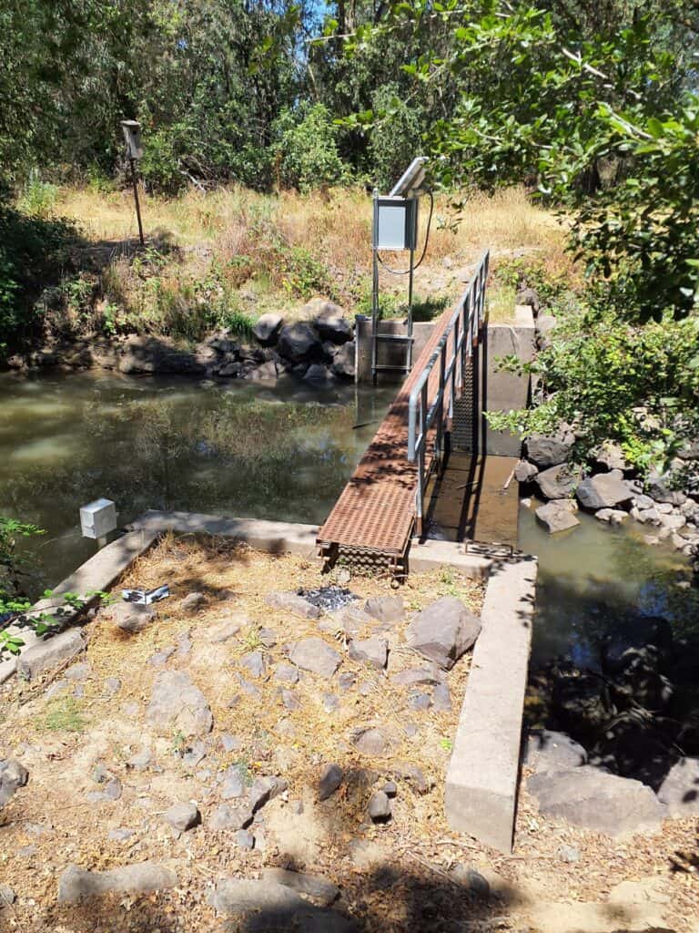
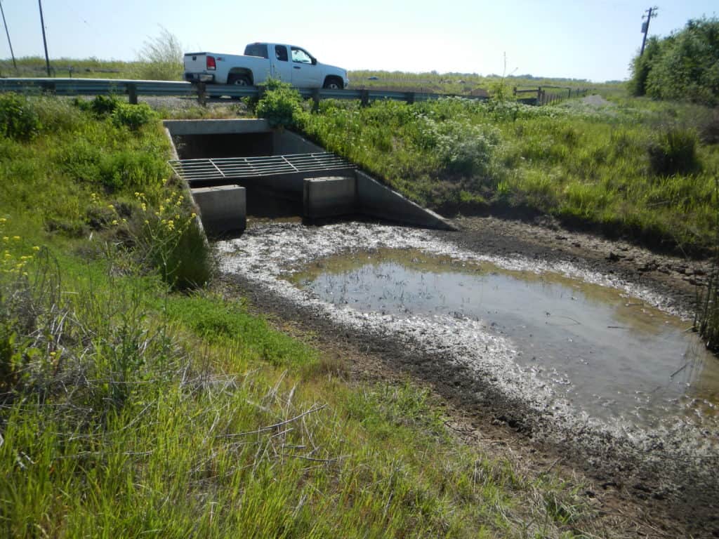
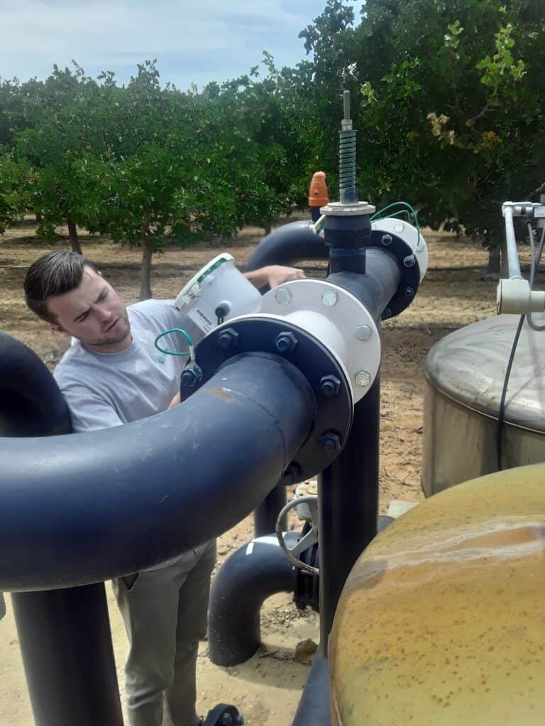
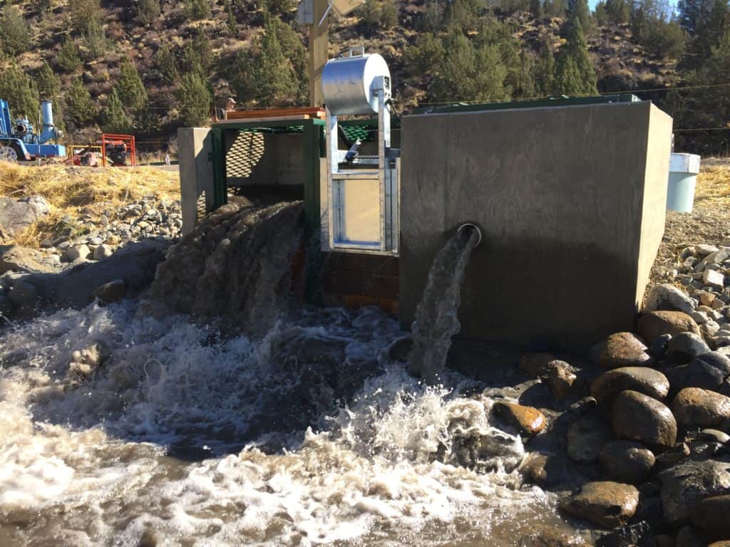
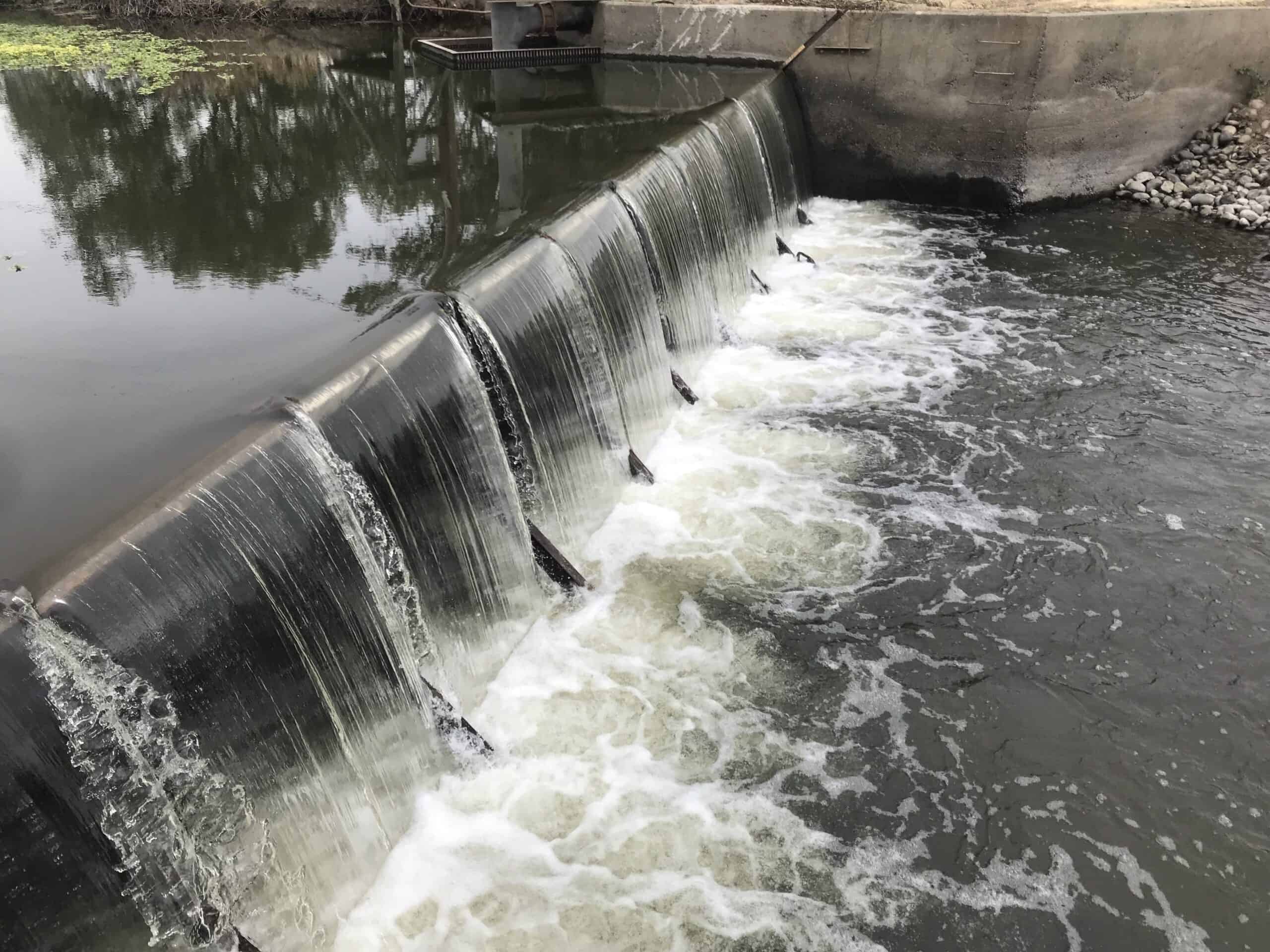
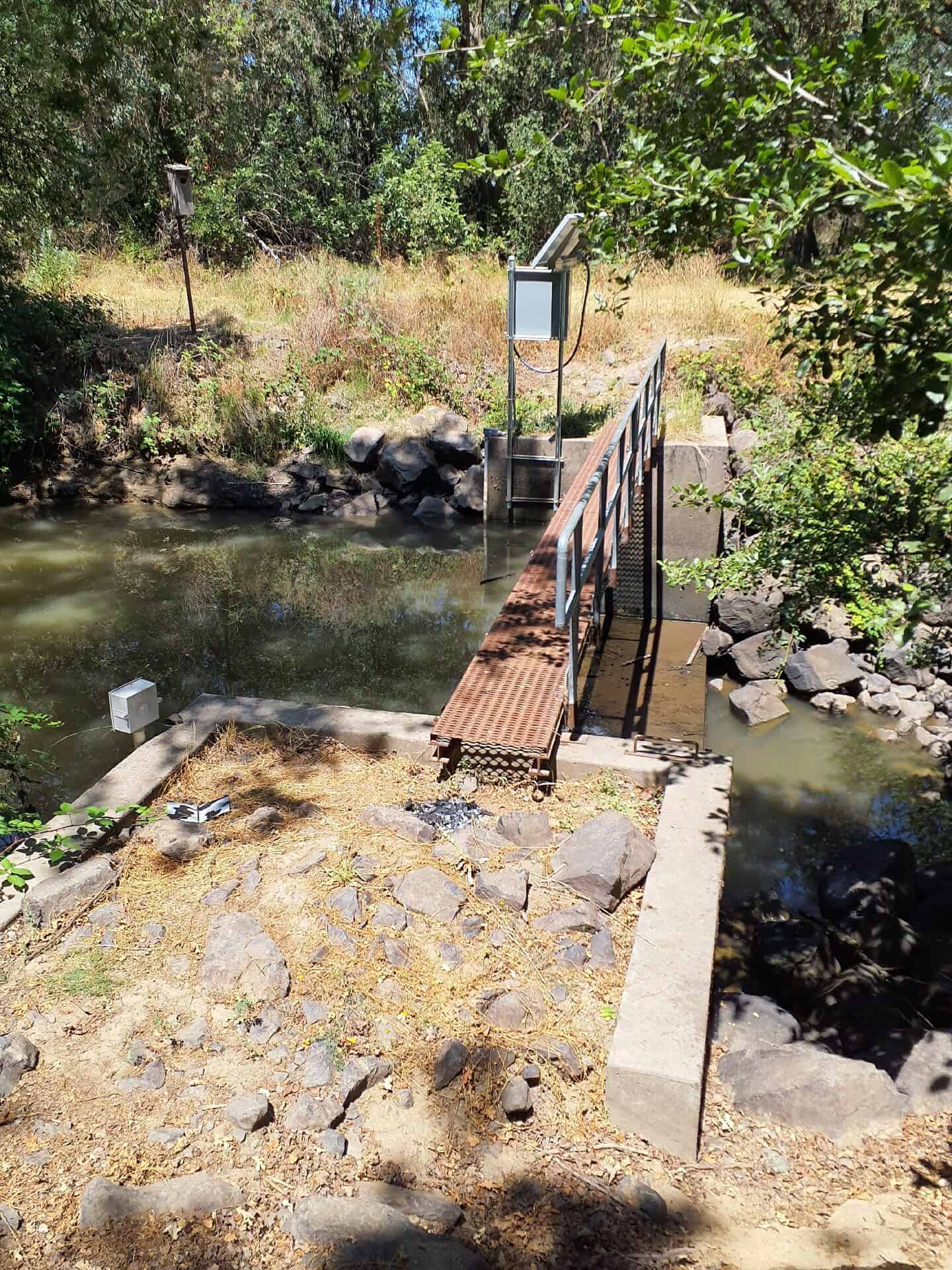
Davids Engineering will work with water suppliers to identify key boundary surface outflow sites, develop a methodology for measuring flows over time, install and maintain monitoring equipment, and complete detailed studies to quantify boundary surface outflow volumes. Monitoring at most sites includes installation of a pressure transducer to record 15-minute water level data. At sites with a weir, this water level can be directly converted into flow and accumulated to a volume over time. At other sites, Davids Engineering staff will complete periodic flow measurements to develop a stage-discharge relationship and convert the measured water levels to flow. Davids Engineering staff also visit the sites periodically throughout the monitoring period for site and equipment maintenance and data download. After the monitoring period is complete the data are finalized and a technical memorandum is provided with the results and any recommendations.
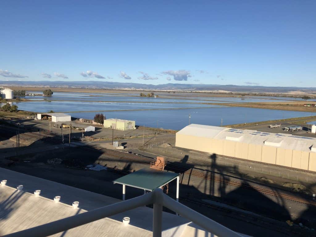
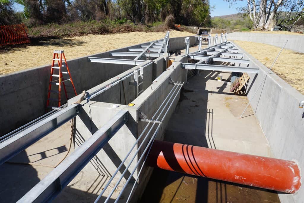
From this monitoring, water suppliers have an improved understanding of boundary system outflows and overall flow through their distribution and drainage systems. This improves water budgets, which are often used to make long-term planning decisions (such as planning capital improvement projects), and allows for operational changes to better manage water supplies to meet a variety of objectives. Additionally, we have helped clients transition these monitoring sites from temporary installations to permanent monitoring sites. The results of this work have aided clients in obtaining grant funding for improved boundary surface outflow monitoring, including permanent site installations and integration into a Supervisory Control and Data Acquisition (SCADA) system. The real-time monitoring through SCADA at these sites also provides operators with information to increase operational efficiency and flexibility as operations are ongoing, rather than after monitoring is complete. Davids Engineering is proud to help our clients improve their data collection and data quality, and as a result, improve water management and use.
