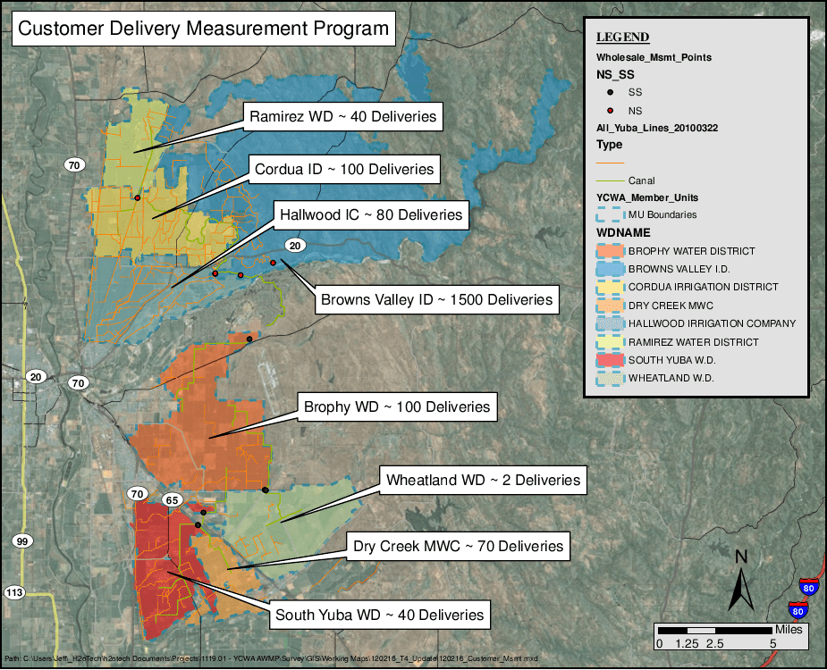
California passed the Water Conservation Act of 2009 (SBx7-7) to encourage water conservation practices across the State’s agricultural water supplies; among other mandates, it required suppliers serving more than 25,000 acres were required to develop an agricultural water management plan (AWMP). Davids Engineering (DE) prepared a regional AWMP for the Feather River region and participating Feather River agricultural water suppliers under a Proposition 204 grant awarded by the California Department of Water Resources. The plan was prepared in accordance with the requirements outlined in SBx7-7 and was the first regional AWMP developed to satisfy the requirements of SBx7-7. The plan includes a description of the regional setting and water supplies; water management activities, objectives, and opportunities; potential effects, impacts, and mitigation strategies for climate change; both regional and detailed water budgets; implemented and planned efficient water management practices; and recommendations for improvement and modernization projects, additional data collection, additional studies and planning, and partnerships to improve water management in the region and for specific agricultural water users.
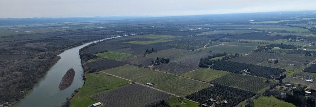
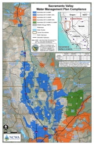
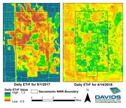
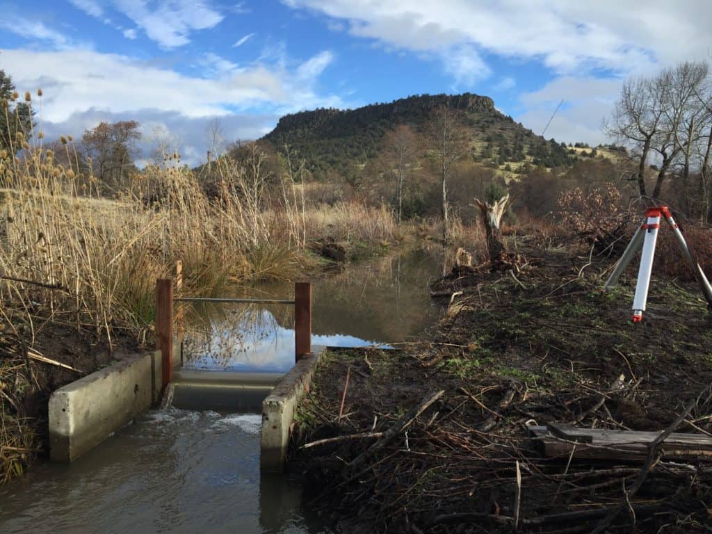
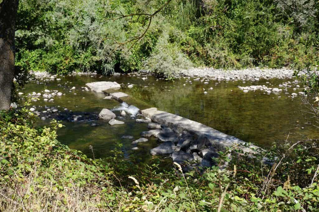
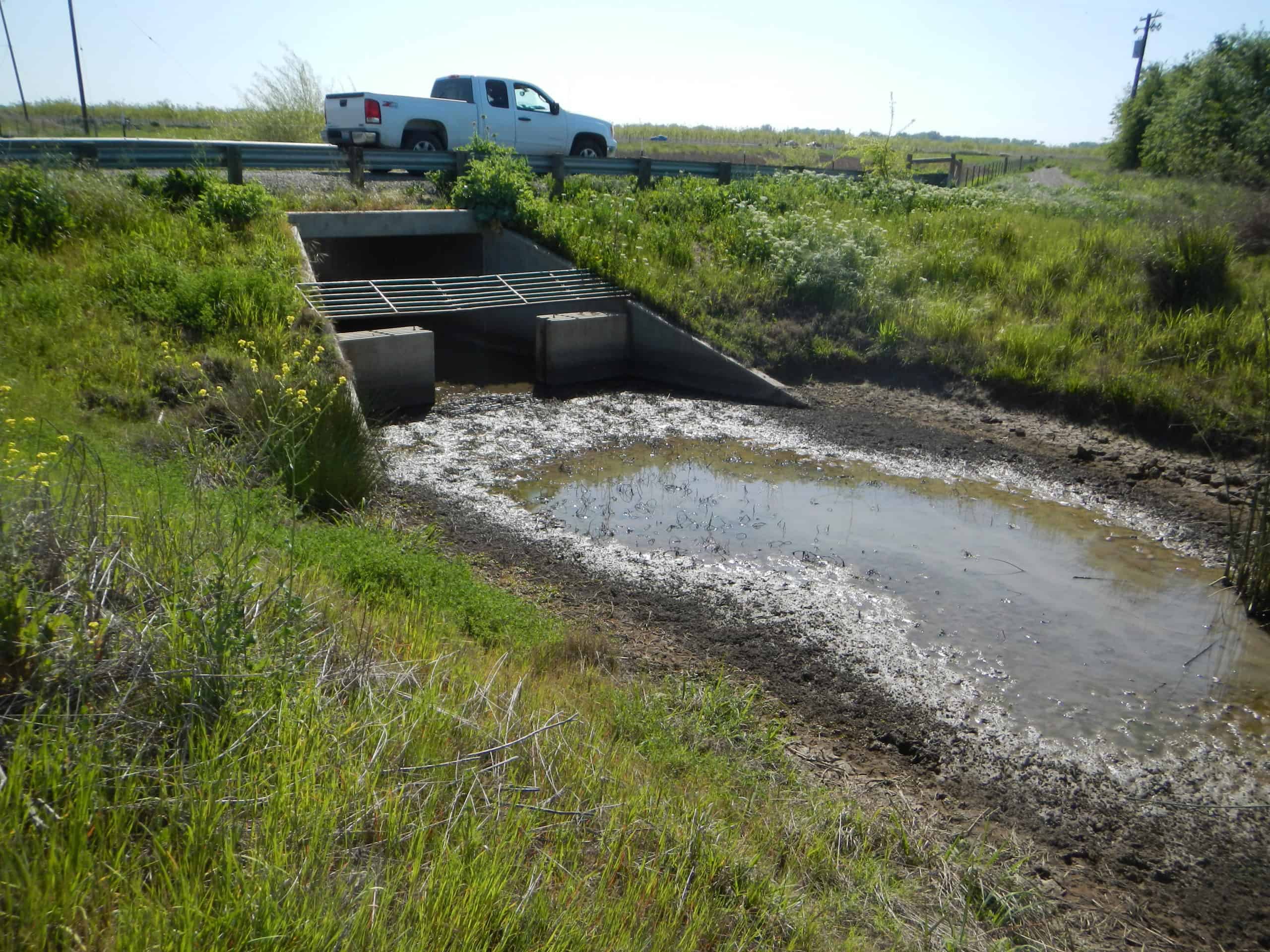
The region included in the AWMP is located on the east side of the Sacramento Valley in northern California and includes roughly 324,000 acres. It includes some of the most productive agricultural land in the Sacramento Valley with roughly 180,000 acres of rice, 90,000 acres of orchards, and 34,000 acres of other crops grown in recent years. The Feather River agricultural water suppliers in the region include Western Canal Water District, the Joint Districts (Richvale Irrigation District, Biggs-West Gridley Water District, Butte Water District, and Sutter Extension Water District), which historically diverted water directly from the Feather River, but since construction of the State Water Project primarily[1] divert water from the Thermalito Afterbay. Along the lower Feather River, there are additional agricultural water suppliers (all serving less than 10,000 acres of irrigated land) including Feather Water District, Garden Highway Mutual Water Company, Plumas Mutual Water Company, and Tudor Mutual Water Company. Butte Creek, one of the few remaining streams in California continuing to support a population of spring-run Chinook salmon, also traverses the region after flowing out of the Sierra Nevada foothills to the northeast. The surface hydrology of the region can also be characterized as a “flow through” system. Water entering the system that is not consumed as evapotranspiration (by either irrigated agriculture or natural vegetation) either enters the groundwater system, where it is subsequently available for reuse, or returns to the surface water system and is available for further beneficial use downstream. This allows for water to be reused multiple times as it travels through the region, providing benefits to agricultural water users and to the natural environment and habitat throughout the region, which also includes approximately 76,000 acres of important riparian habitat, managed wetlands, and wildlife areas and refuges.
California passed the Water Conservation Act of 2009 (SBx7-7) to encourage water conservation practices across the State’s agricultural water supplies; among other mandates, it required suppliers serving more than 25,000 acres were required to develop an agricultural water management plan (AWMP). Davids Engineering (DE) prepared a regional AWMP for the Feather River region and participating Feather River agricultural water suppliers under a Proposition 204 grant awarded by the California Department of Water Resources. The plan was prepared in accordance with the requirements outlined in SBx7-7 and was the first regional AWMP developed to satisfy the requirements of SBx7-7. The plan includes a description of the regional setting and water supplies; water management activities, objectives, and opportunities; potential effects, impacts, and mitigation strategies for climate change; both regional and detailed water budgets; implemented and planned efficient water management practices; and recommendations for improvement and modernization projects, additional data collection, additional studies and planning, and partnerships to improve water management in the region and for specific agricultural water users.
The region included in the AWMP is located on the east side of the Sacramento Valley in northern California and includes roughly 324,000 acres. It includes some of the most productive agricultural land in the Sacramento Valley with roughly 180,000 acres of rice, 90,000 acres of orchards, and 34,000 acres of other crops grown in recent years. The Feather River agricultural water suppliers in the region include Western Canal Water District, the Joint Districts (Richvale Irrigation District, Biggs-West Gridley Water District, Butte Water District, and Sutter Extension Water District), which historically diverted water directly from the Feather River, but since construction of the State Water Project primarily[1] divert water from the Thermalito Afterbay. Along the lower Feather River, there are additional agricultural water suppliers (all serving less than 10,000 acres of irrigated land) including Feather Water District, Garden Highway Mutual Water Company, Plumas Mutual Water Company, and Tudor Mutual Water Company. Butte Creek, one of the few remaining streams in California continuing to support a population of spring-run Chinook salmon, also traverses the region after flowing out of the Sierra Nevada foothills to the northeast. The surface hydrology of the region can also be characterized as a “flow through” system. Water entering the system that is not consumed as evapotranspiration (by either irrigated agriculture or natural vegetation) either enters the groundwater system, where it is subsequently available for reuse, or returns to the surface water system and is available for further beneficial use downstream. This allows for water to be reused multiple times as it travels through the region, providing benefits to agricultural water users and to the natural environment and habitat throughout the region, which also includes approximately 76,000 acres of important riparian habitat, managed wetlands, and wildlife areas and refuges.
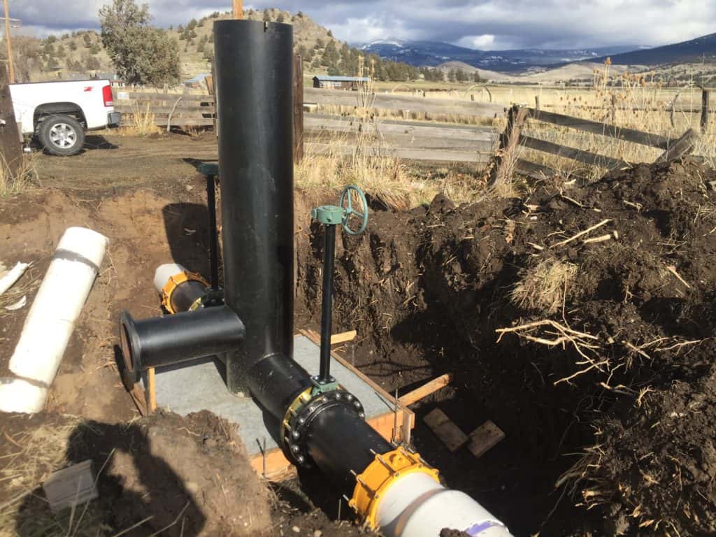
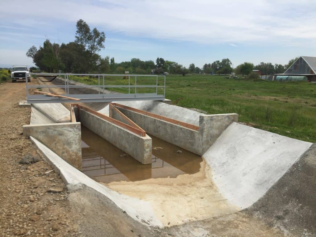
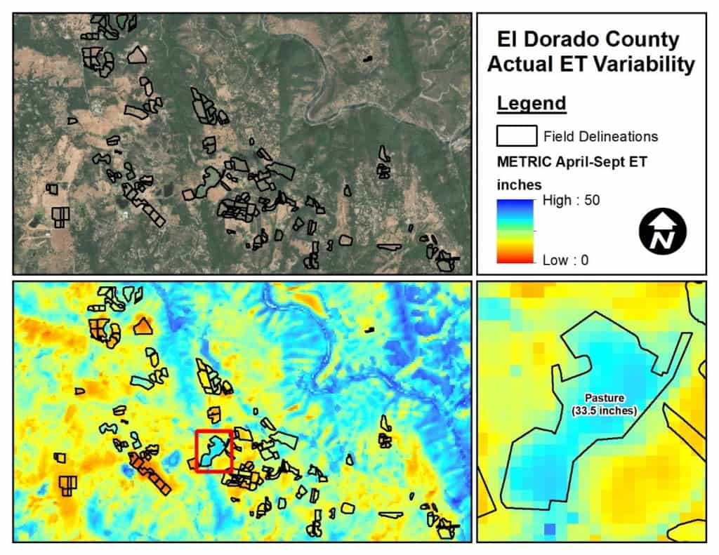
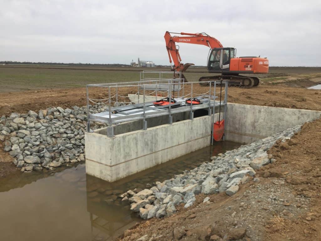
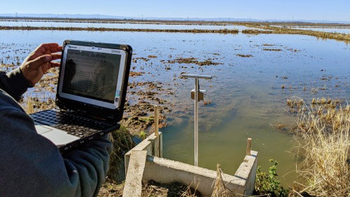
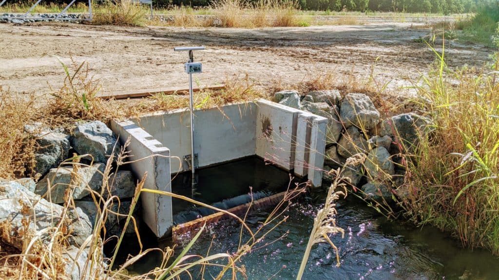
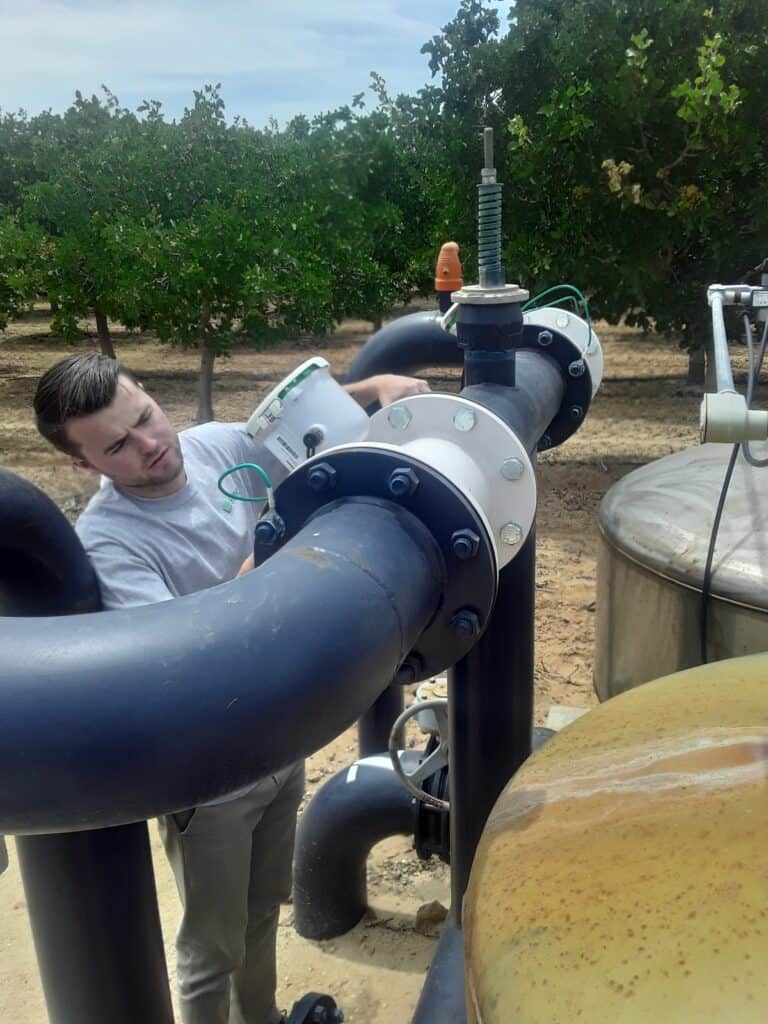
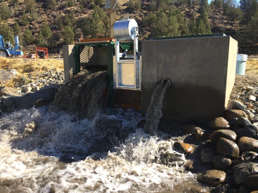
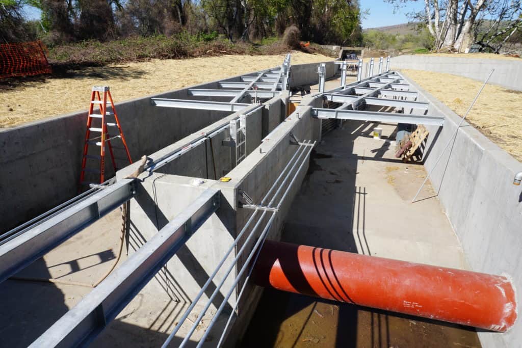
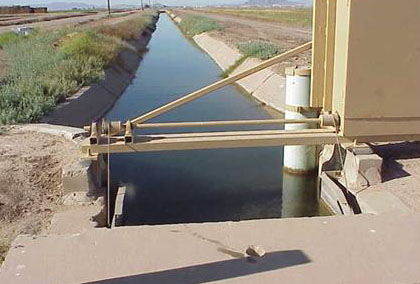
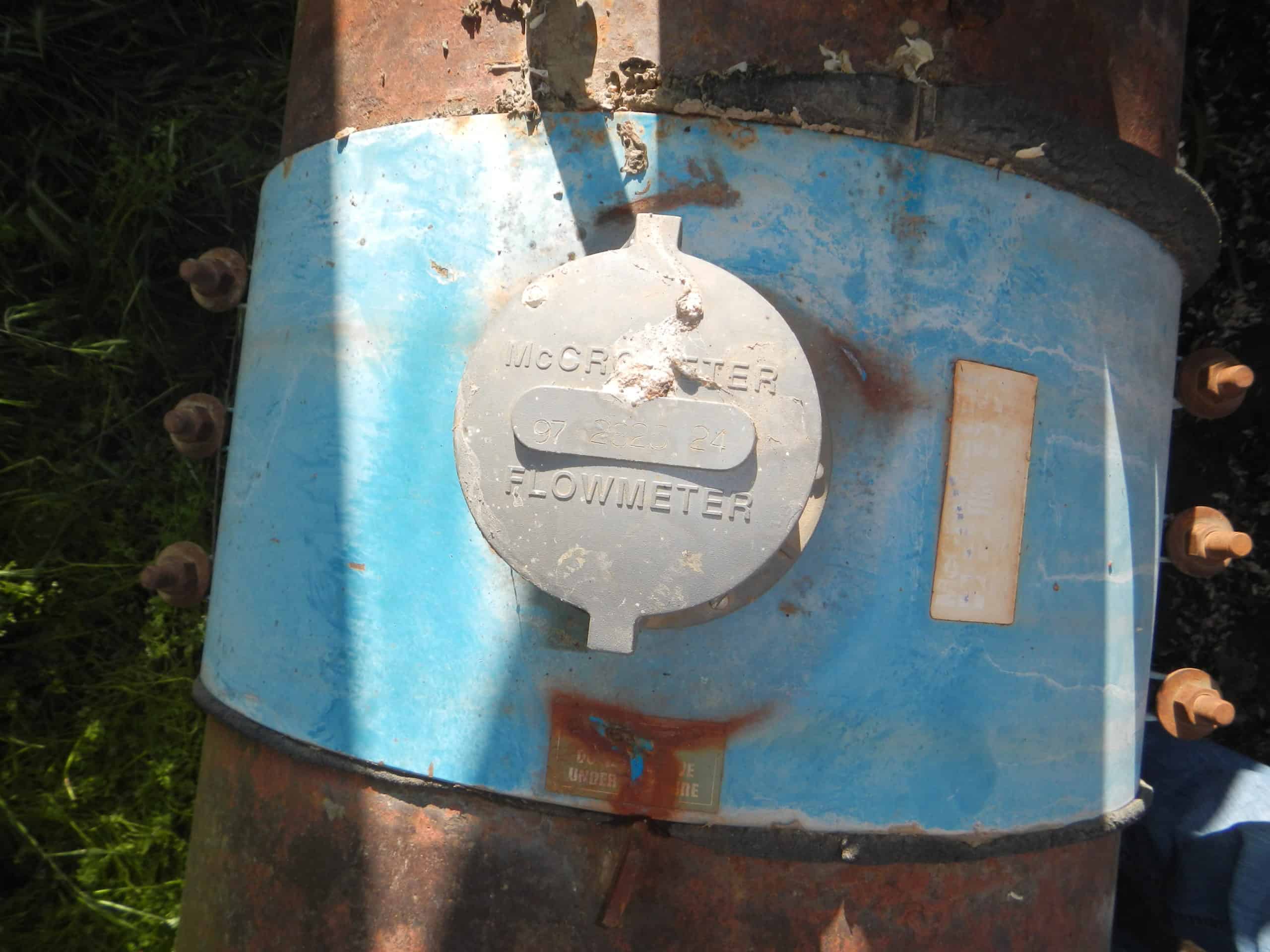
In addition to development of the AWMP, Davids Engineering has provided technical assistance to agricultural water users through developing delivery measurement programs, assembling supplier infrastructure inventories, identifying, designing, and implementing system improvement and modernization projects, and preparing and calculating water balances (including development of an IWFM Demand Calculator (IDC) model to quantify water balance inputs). In 2015, Davids Engineering updated the AWMPs for individual suppliers and they are currently developing an update to the AWMPs for 2020 for individual suppliers. Davids Engineering continues to be actively involved in advancing water management in the region.
[1] Sutter Extension Water District continues to divert water directly from the Feather River at their Sunset Pumps diversion.
