Time Series Evapotranspiration and Applied Water Estimates from Remote Sensing

Client: Kaweah Delta

Funder: Kaweah Delta

Location: Central Valley, CA

Date: 2010 - present

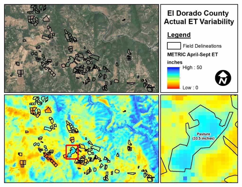
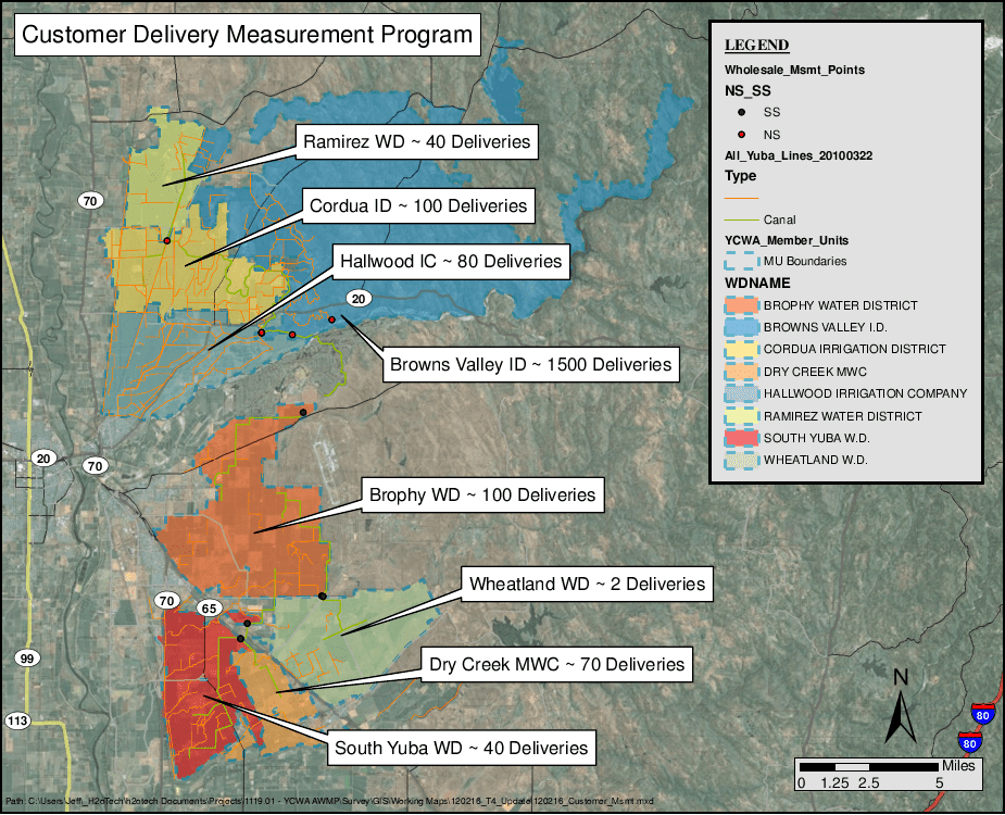
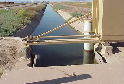
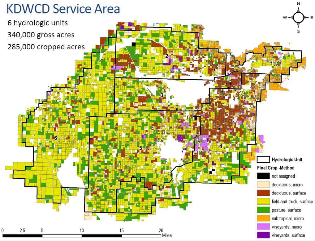
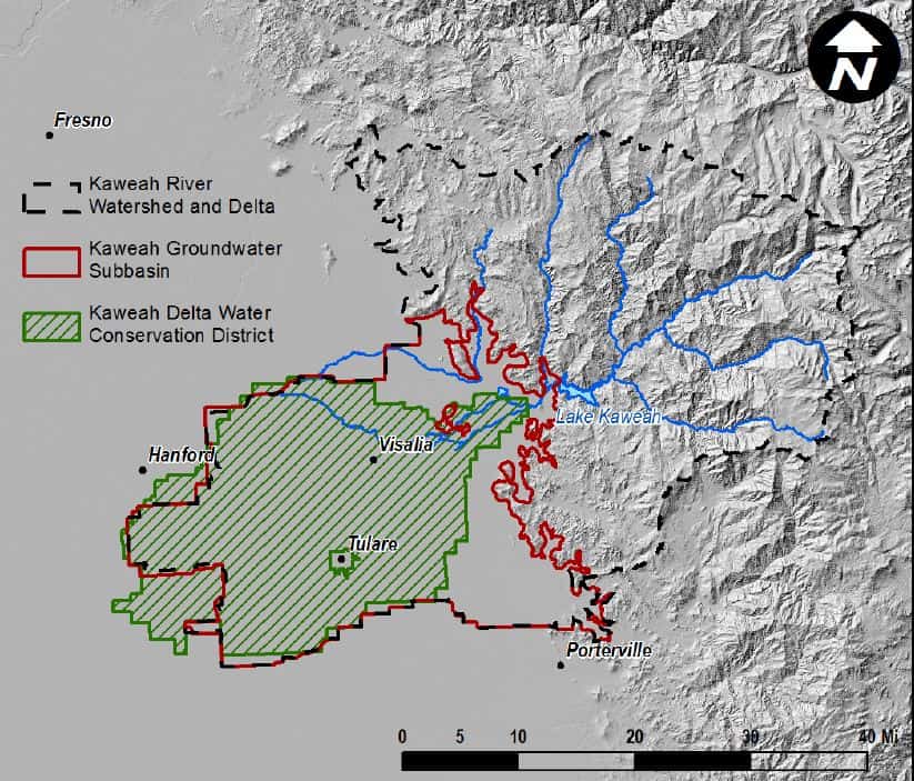
Davids Engineering provided model programming and operation to develop and implement a daily root zone water balance model for approximately 8,000 fields representing 300,000 acres in the southern San Joaquin Valley of California. Results of the effort are being used to refine estimates of groundwater extraction and recharge and are expected ultimately to be used to refine an existing groundwater model. The model is driven by remote sensing of crop transpiration, coupled with simulation of irrigation practices to estimate bare soil evaporation and was calibrated and validated using available datasets describing spatially distributed actual evapotranspiration (ET) rates developed using the Surface Energy Balance Algorithm for Land (SEBAL).

A key advantage of the model is that it can account for actual crop evapotranspiration with limited reliance on detailed information describing cropping patterns over time. Additionally, by leveraging off existing SEBAL datasets, the model can be applied over long time periods at modest cost. The model was applied for the 12-year time period from 1999 to 2010 on a daily time step for each field and provides estimates of all water budget components at the field scale, including ET of applied water, ET of precipitation, applied irrigation water, deep percolation of applied water, deep percolation of precipitation, tailwater (runoff of applied water), runoff of precipitation, etc.

All Projects

Tehama County Groundwater Sustainability Plan Implementation 

Colusa Subbasin Groundwater Sustainability Plan Revisions

Madera Subbasin Groundwater Sustainability Plan Revisions 

Chowchilla Subbasin Groundwater Sustainability Plan Revisions

Moore Siphon Replacement Project

Dos Rios Ranch SB88 Compliance and Crop Planning Analysis

Hart Ranch On-Farm Irrigation Efficiency Improvements

Orland Project Distribution System Modernization

Water Management Plan Compliance Mapping

Agricultural Development Feasibility Assessment

Analysis of Effects of Water Management on Evapotranspiration from Managed Wetlands

Garden Highway Mutual Water Company Water Control Projects

Richvale Irrigation District Phase I Infrastructure Modernization

Joint Water Districts Board SCADA

Sutter Mutual Water Company Modernization Support

Shasta Valley Groundwater Monitoring

Time Series Evapotranspiration and Applied Water Estimates from Remote Sensing

Customer Delivery Measurement Data Collection and Accounting (RemoteTracker Implementation)

SGMA Technical Support Services and Prop 1 Stressed Basin Grant Project

Efficiency Conservation Definite Plan and Conservation Program

Boundary Outflow Measurements

Oakdale Irrigation District Agricultural Water Management Plan

Yuba Water Agency Agricultural Water Managment Plan

Feather River Agricultural Water Management Plan (FRRAWMP)

Colusa Subbasin Groundwater Sustainability Plan Development

Madera and Chowchilla Subbasins Groundwater Sustainability Plans

2022 Verification Project for Madera County GSAs

Little Shasta River Efficiency Study

Mill Creek Flow Measurement Improvements

Kettle Spring Improvement Project

Antelope Creek Fish Passage Improvement Project

Conservation Planning and Operations Decision Support